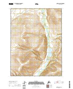
2018 Map of Christian C-6 SW
USGS Topo · Published 2018About this map
The North Fork East Fork Chandalar River winds through this interior Alaskan wilderness, carving a distinct valley within the Yukon-Koyukuk Census Area. This 2018 survey reveals a landscape largely defined by its natural watercourses and the Public Land Survey System grid, which is clearly delineated by township and range markings including T32n R3e, T32n R4e, T31n R3e, and T31n R4e. The absence of roads or settlements on this sheet highlights the isolation of this subarctic terrain, making it a critical record for those studying the unmodified hydrology and topographical contours of the northern interior. This map is particularly useful for visualizing the drainage patterns of the upper Chandalar watershed in the early twenty-first century.
Find a feature on this map
5 named features on this map. Tap any name to fly to it.
Don’t see what you’re looking for? This feature index may not catch every label — zoom into the map to look around manually.
Map Details
Editions of this 2018 Christian C-6 SW Map
This is the sole edition of this map. No revisions or reprints were ever made.
Other maps of this area

1951 · Chandalar
USGS Topo · 1:250,000

1951 · Christian
USGS Topo · 1:250,000

1956 · Chandalar
USGS Topo · 1:250,000

1956 · Christian
USGS Topo · 1:250,000

1964 · Chandalar
USGS Topo · 1:250,000
1990 · Christian C-6
USGS Topo · 1:63,360
1990 · Christian B-6
USGS Topo · 1:63,360
1990 · Chandalar B-1
USGS Topo · 1:63,360
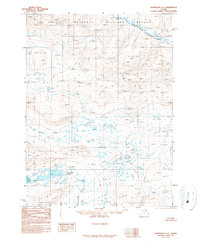
1990 · Chandalar C-1
USGS Topo · 1:63,360
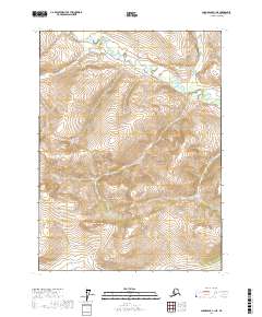
2017 · Chandalar C-1 NE
USGS Topo · 1:25,000