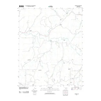
2010 Map of Christie
USGS Topo · Published 2010About this map
Baron Fork cuts a wide path through this portion of Adair County, anchoring a landscape defined by deep drainages and named summits. The terrain is marked by significant topographical landmarks such as Walkingstick Mountain and Spade Mountain, with numerous hollows like Crazy Hollow and Wilkerson Hollow branching off the primary watercourses. This 2010 survey highlights a distribution of family and local burial grounds that provide a clear map for genealogical research, including the Ketcher Cemetery, Walkingstick Cemetery, and Reece Cemetery. The presence of infrastructure like the Twin Bridges and the Scraper Hollow Creek Site 1 Dam indicates how the local community has managed the area's hydrology. A dense network of local routes, such as England Hollow Rd and Adelaid Rd, connects these scattered landmarks across the Ozark foothills.
Find a feature on this map
50 named features on this map. Tap any name to fly to it.
Don’t see what you’re looking for? This feature index may not catch every label — zoom into the map to look around manually.
Map Details
Editions of this 2010 Christie Map
This is the sole edition of this map. No revisions or reprints were ever made.
Other maps of this area

1898 · Tahlequah
USGS Topo · 1:125,000

1899 · Siloam Springs
USGS Topo · 1:125,000

1901 · Tahlequah
USGS Topo · 1:125,000

1903 · Siloam Springs
USGS Topo · 1:125,000

1904 · Siloam Springs
USGS Topo · 1:125,000

1905 · Tahlequah
USGS Topo · 1:125,000

1946 · Fort Smith
USGS Topo · 1:250,000

1954 · Tulsa
USGS Topo · 1:250,000

1958 · Tulsa
USGS Topo · 1:250,000

1963 · Tulsa
USGS Topo · 1:250,000