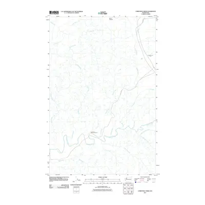
2011 Map of Christmas Creek
USGS Topo · Published 2011About this map
Clearwater River serves as the central drainage for this section of the Olympic Peninsula, winding through a landscape defined by industrial forestry and secluded watersheds. The presence of the Hoh Mainline and Clearwater Rd highlights the area's ongoing importance for timber access, while the Clearwater Honor Camp stands as a notable human outpost in an otherwise sparsely populated region. Higher elevations are anchored by Mount Octopus to the north, with numerous tributaries such as Snahapish River and Bull Creek feeding into the main river system.
Find a feature on this map
20 named features on this map. Tap any name to fly to it.
Don’t see what you’re looking for? This feature index may not catch every label — zoom into the map to look around manually.
Map Details
Editions of this 2011 Christmas Creek Map
This is the sole edition of this map. No revisions or reprints were ever made.
Other maps of this area

1939 · Forks
USGS Topo · 1:62,500

1943 · Spruce Mountain
USGS Topo · 1:62,500

1943 · Copalis Beach
USGS Topo · 1:250,000

1951 · Copalis Beach
USGS Topo · 1:250,000

1956 · Destruction Island
USGS Topo · 1:62,500

1956 · Spruce Mtn.
USGS Topo · 1:62,500

1956 · Salmon River
USGS Topo · 1:62,500

1957 · Forks
USGS Topo · 1:62,500

1957 · Copalis Beach
USGS Topo · 1:250,000

1963 · Copalis Beach
USGS Topo · 1:250,000