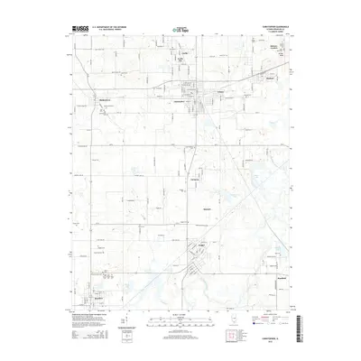
2015 Map of Christopher
USGS Topo · Published 2015About this map
Christopher and the surrounding coal-country settlements of Buckner, Zeigler, and Royalton dominate this landscape within the Franklin County portion of southern Illinois. The map reveals a dense network of local history, particularly visible through the numerous burial grounds like Old Mulkeytown Cem and Miners Cem that suggest the deep-rooted mining heritage of the region. The Big Muddy River winds through the southern section, while water bodies like Zeigler City Lake and Beaver Lake provide central landmarks for the clustered communities.
Find a feature on this map
82 named features on this map. Tap any name to fly to it.
Don’t see what you’re looking for? This feature index may not catch every label — zoom into the map to look around manually.
Map Details
Editions of this 2015 Christopher Map
This is the sole edition of this map. No revisions or reprints were ever made.
Other maps of this area

1909 · West Frankfort
USGS Topo · 1:62,500

1910 · Herrin
USGS Topo · 1:62,500

1926 · Duquoin
USGS Topo · 1:62,500

1936 · Herrin
USGS Topo · 1:62,500

1939 · Ina
USGS Topo · 1:62,500

1941 · West Frankfort
USGS Topo · 1:62,500

1943 · Ina
USGS Topo · 1:62,500

1949 · Paducah
USGS Topo · 1:250,000

1950 · Paducah
USGS Topo · 1:250,000

1954 · Paducah
USGS Topo · 1:250,000