2024 Map of Christopher
USGS Topo · Published 2024About this map
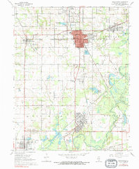
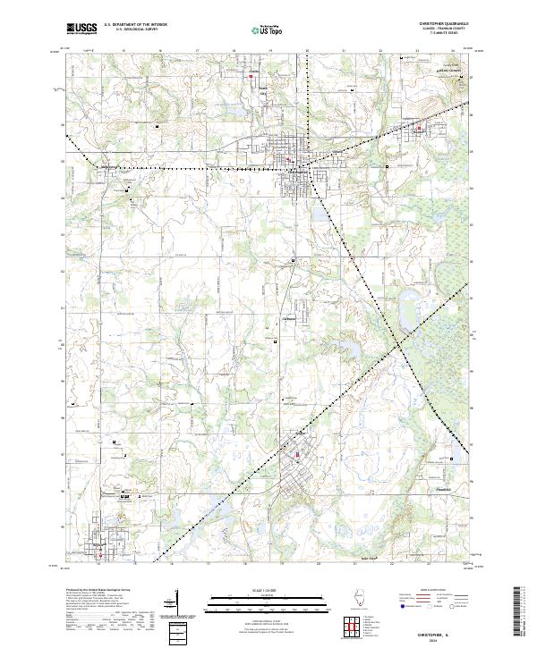
The Big Muddy River meanders through the southern half of this Franklin County landscape, shaping a terrain defined by coal-mining heritage and established settlements. In the center, Christopher and Zeigler serve as primary hubs, surrounded by satellite communities like Buckner, North City, and Coello. The abundance of memorial sites, including the Miners Cem, Saint Aloysius Cem, and Saint Marys Orthodox Cem, reflects the deep genealogy of the local workforce and the cultural tapestry of the region.
Find a feature on this map
182 named features on this map. Tap any name to fly to it.
Don’t see what you’re looking for? This feature index may not catch every label — zoom into the map to look around manually.
Map Details
Editions of this 2024 Christopher Map
This is the sole edition of this map. No revisions or reprints were ever made.