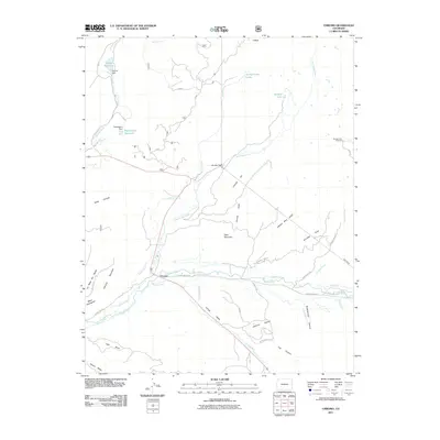
2011 Map of Chromo
USGS Topo · Published 2011About this map
Chromo sits at the junction of the Navajo River and Spring Creek, serving as a central point in a landscape defined by complex irrigation and high-altitude water management. This area in southwestern Colorado shows an intricate network of water transport, including the Midland Ditch, Elmer Ditch, and Underwood DITCH, alongside significant engineering features like the Oso Tunnel. The terrain is characterized by a series of mesas such as Vigil Mesa and Abeyta Mesa, which overlook deep-cut landforms like Jawbone Canyon and Buckhammer Canyon. High-altitude reservoirs including Spence Reservoir, held by Spence Dam, and Sappington Reservoir indicate the importance of water storage for the surrounding valley. The map also highlights recreational and geographical landmarks, from the Navajo Peak Trailhead to the heights of Chromo Mountain and the distinct volcanic feature of V Rock.
Find a feature on this map
54 named features on this map. Tap any name to fly to it.
Don’t see what you’re looking for? This feature index may not catch every label — zoom into the map to look around manually.
Map Details
Editions of this 2011 Chromo Map
This is the sole edition of this map. No revisions or reprints were ever made.
Other maps of this area

1913 · Summitville
USGS Topo · 1:125,000

1915 · Summitville
USGS Topo · 1:125,000

1945 · Durango
USGS Topo · 1:250,000

1953 · Durango
USGS Topo · 1:250,000

1954 · Durango
USGS Topo · 1:250,000

1954 · Aztec
USGS Topo · 1:250,000

1955 · Chama
USGS Topo · 1:62,500

1955 · Lumberton
USGS Topo · 1:62,500

1957 · Chromo
USGS Topo · 1:62,500

1957 · Chama Peak
USGS Topo · 1:62,500