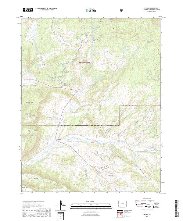
2022 Map of Chromo
USGS Topo · Published 2022About this map
The San Juan National Forest defines the northern reaches of this map, where the high terrain gives way to a complex network of irrigation and water management in the Chromo area. The landscape is characterized by prominent flat-topped mesas such as Mesa Cortado, Vigil Mesa, and Abeyta Mesa, while drainage is dominated by the Navajo River and Little Navajo River. A sophisticated system of human-made water diversions is visible, including the Blanco Tunnel, Oso Tunnel, and numerous named ditches like the Midland Ditch and Enterprise Ditch. These features reflect a legacy of ranching and water rights in southern Archuleta County, where the desert-edge geography required extensive engineering to sustain agriculture. Historic trails such as the Blue Creek Winter Trl and Navajo Peak Trl provide a look at the traditional routes used to navigate these peaks and canyons before modern development.
Find a feature on this map
50 named features on this map. Tap any name to fly to it.
Don’t see what you’re looking for? This feature index may not catch every label — zoom into the map to look around manually.
Map Details
Editions of this 2022 Chromo Map
This is the sole edition of this map. No revisions or reprints were ever made.
Other maps of this area

1913 · Summitville
USGS Topo · 1:125,000

1915 · Summitville
USGS Topo · 1:125,000

1945 · Durango
USGS Topo · 1:250,000

1953 · Durango
USGS Topo · 1:250,000

1954 · Durango
USGS Topo · 1:250,000

1954 · Aztec
USGS Topo · 1:250,000

1955 · Chama
USGS Topo · 1:62,500

1955 · Lumberton
USGS Topo · 1:62,500

1957 · Chromo
USGS Topo · 1:62,500

1957 · Chama Peak
USGS Topo · 1:62,500