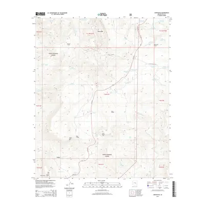
2014 Map of Chrysotile
USGS Topo · Published 2014About this map
Chrysotile sits atop a high-elevation landscape within the Tonto National Forest, defined by a series of deep drainages and named peaks. The settlement of Tucker is situated to the south, near where US Hwy 60 winds through the terrain. This area is heavily marked by water management infrastructure, including numerous detention basins and livestock tanks such as Cypress Tank, Toney Tank, and the Bronson Trick Tank.
Find a feature on this map
59 named features on this map. Tap any name to fly to it.
Don’t see what you’re looking for? This feature index may not catch every label — zoom into the map to look around manually.
Map Details
Editions of this 2014 Chrysotile Map
This is the sole edition of this map. No revisions or reprints were ever made.
Other maps of this area

1922 · Chrysotile
USGS Topo · 1:125,000

1946 · Blue House Mtn
USGS Topo · 1:62,500

1951 · Blue House Mtn
USGS Topo · 1:62,500

1954 · Mesa
USGS Topo · 1:250,000

1957 · Mesa
USGS Topo · 1:250,000

1958 · Mesa
USGS Topo · 1:250,000

1960 · Mesa
USGS Topo · 1:250,000

1964 · Mesa
USGS Topo · 1:250,000

1966 · Brushy Canyon
USGS Topo · 1:24,000

1966 · Cassadore Spring
USGS Topo · 1:24,000