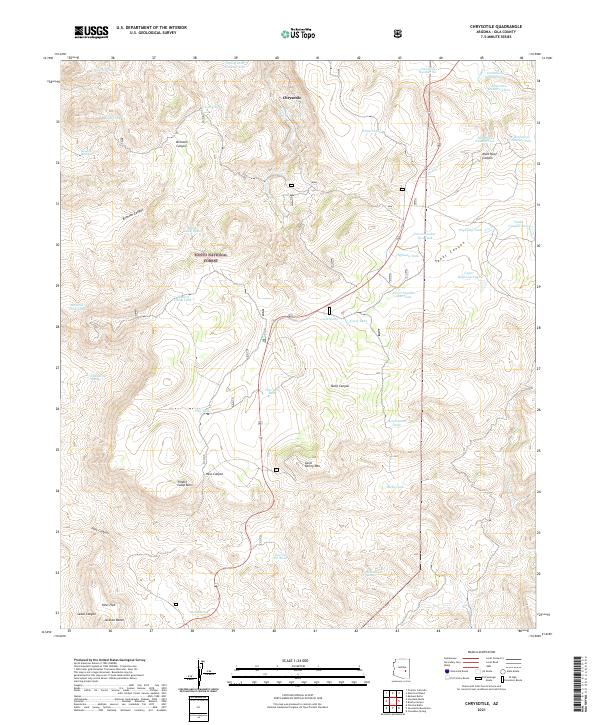
2021 Map of Chrysotile
USGS Topo · Published 2021About this map
Chrysotile stands as a focal point in this remote corner of the Tonto National Forest, where the complex geography of Gila County is defined by steep canyons and an extensive network of water management features. The landscape is a study in high-desert survival, marked by numerous cattle tanks and catchments such as Toney Tank Number Two and the series of numbered detention basins near Cienega Cr. This 2021 survey illustrates the modern management of these traditional lands, emphasizing the drainage patterns of Tanks Canyon and Bronson Canyon.
Find a feature on this map
64 named features on this map. Tap any name to fly to it.
Don’t see what you’re looking for? This feature index may not catch every label — zoom into the map to look around manually.
Map Details
Editions of this 2021 Chrysotile Map
This is the sole edition of this map. No revisions or reprints were ever made.
Other maps of this area

1922 · Chrysotile
USGS Topo · 1:125,000

1946 · Blue House Mtn
USGS Topo · 1:62,500

1951 · Blue House Mtn
USGS Topo · 1:62,500

1954 · Mesa
USGS Topo · 1:250,000

1957 · Mesa
USGS Topo · 1:250,000

1958 · Mesa
USGS Topo · 1:250,000

1960 · Mesa
USGS Topo · 1:250,000

1964 · Mesa
USGS Topo · 1:250,000

1966 · Brushy Canyon
USGS Topo · 1:24,000

1966 · Cassadore Spring
USGS Topo · 1:24,000