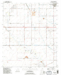
1965 Map of Chuichu
USGS Topo · Published 1967About this map
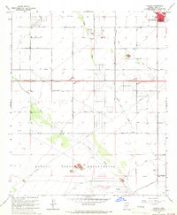
Chuichu and the southern outskirts of Casa Grande anchor this mid-1960s study of the Pinal County desert. The landscape is defined by the extensive Papago Indian Reservation boundary and the seasonal drainage patterns of the Santa Cruz Wash and Greene Wash. This era shows a transition from traditional land use toward modern infrastructure, with the Casa Grande Canal and a grid of rural roads like Thornton Road and Bianco Road supporting local agriculture and movement. Significant local identifiers for genealogists and historians include the South Sch in the northern residential sector, a local Cem, and industrial activity marked by a Quarry and several Gravel Pits. The presence of a Landing Strip and a network of pipelines suggests the area's role in broader regional transport and utility systems during the post-war expansion of Arizona.
Find a feature on this map
42 named features on this map. Tap any name to fly to it.
Don’t see what you’re looking for? This feature index may not catch every label — zoom into the map to look around manually.
Map Details
Editions of this 1965 Chuichu Map
2 editions found
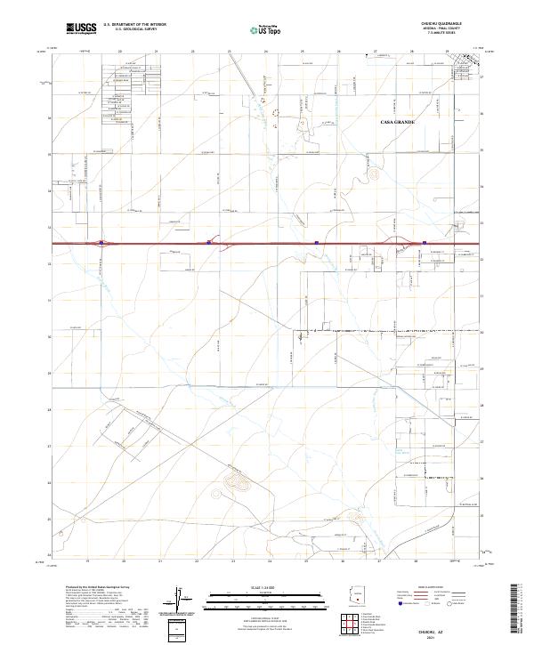
Historical Maps of Casa Grande Through Time
6 maps found