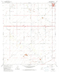
1965 Map of Chuichu
USGS Topo · Published 1979About this map
Papago Indian Reservation dominates the southern half of this landscape, where the settlement of Chuichu sits near the base of low desert hills and a small Cem. The map reveals an intensive agricultural and infrastructural network emerging in the mid-1960s, characterized by the Casa Grande Canal and a grid of rural routes like Peters Road and Hanna Road serving scattered desert wells.
Find a feature on this map
42 named features on this map. Tap any name to fly to it.
Don’t see what you’re looking for? This feature index may not catch every label — zoom into the map to look around manually.
Map Details
Editions of this 1965 Chuichu Map
2 editions found
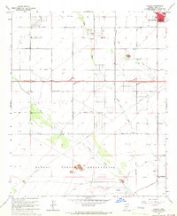
Other maps of this area

1922 · Casa Grande
USGS Topo · 1:62,500

1922 · Signal Peak
USGS Topo · 1:62,500

1924 · Signal Peak
USGS Topo · 1:62,500

1924 · Casa Grande
USGS Topo · 1:62,500

1942 · Silver Reef Mountains
USGS Topo · 1:62,500

1947 · Eloy
USGS Topo · 1:62,500

1948 · Eloy
USGS Topo · 1:62,500

1956 · Tucson
USGS Topo · 1:250,000

1958 · Tucson
USGS Topo · 1:250,000

1959 · Tucson
USGS Topo · 1:250,000