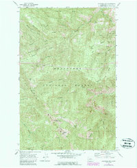
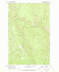
1968 Map of Chumstick Mtn
USGS Topo · Published 1987About this map
Chumstick Mtn rises as a central landmark within the high country of the Wenatchee National Forest during this 1960s survey. The landscape is defined by the sharp drainage networks of the Entiat Mountains, where ridges like Gold Ridge, Medicine Ridge, and Mosquito Ridge separate deep creek basins. This period of the forest's history is marked by a complex system of fire and access roads, including the Medicine Tillicum Road and Entiat Summit Road, which trace the difficult terrain between water sources such as Buck Spring and Swakane Spring. The presence of the Swakane State Wildlife Area in the southern reaches indicates the region's managed transition into a protected habitat for local fauna. Mapping of features like Sourdough and Kloochman Ridge provides a precise view of the topography before later decades of further forest development, highlighting the natural corridors formed by the Mad River and Roaring Creek.
Find a feature on this map
32 named features on this map. Tap any name to fly to it.
Don’t see what you’re looking for? This feature index may not catch every label — zoom into the map to look around manually.
Map Details
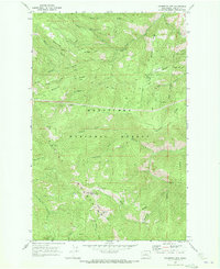
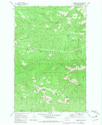
Editions of this 1968 Chumstick Mtn Map
Other maps of this area

1901 · Chelan
USGS Topo · 1:125,000

1901 · Chiwaukum
USGS Topo · 1:125,000

1904 · Chiwaukum
USGS Topo · 1:125,000

1957 · Wenatchee
USGS Topo · 1:250,000

1964 · Leavenworth
USGS Topo · 1:62,500
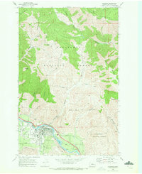
1968 · Cashmere
USGS Topo · 1:24,000

1968 · Tyee Mtn.
USGS Topo · 1:24,000

1968 · Ardenvoir
USGS Topo · 1:24,000
1968 · Sugarloaf Peak
USGS Topo · 1:24,000

1968 · Baldy Mtn
USGS Topo · 1:24,000