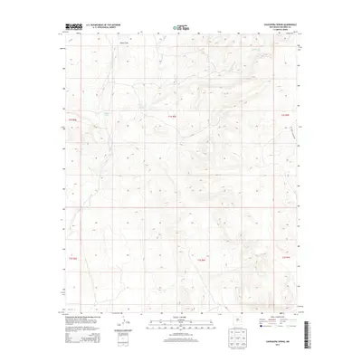
2013 Map of Chupadera Spring
USGS Topo · Published 2013About this map
Chupadera Spring serves as a vital focal point in this arid reach of eastern Socorro County, where water sources dictate the movement of people and livestock. This part of New Mexico is defined by a series of drainage networks, including the braided paths of Chupadera Arroyo, Alamito Arroyo, and the aptly named Arroyo Seco. These seasonal watercourses carve through the landscape, particularly visible at the northern edge where Cañon Trigo cuts through the high ground. The presence of WSMR S Route 3703 indicates the modern logistical importance of the area, though the fundamental topography remains centered on the natural draws and the rare, namesake spring that has likely supported travelers and ranchers in this high-desert environment for generations.
Find a feature on this map
12 named features on this map. Tap any name to fly to it.
Don’t see what you’re looking for? This feature index may not catch every label — zoom into the map to look around manually.
Map Details
Editions of this 2013 Chupadera Spring Map
This is the sole edition of this map. No revisions or reprints were ever made.
Other maps of this area

1954 · Socorro
USGS Topo · 1:250,000

1958 · Socorro
USGS Topo · 1:250,000

1962 · Socorro
USGS Topo · 1:250,000

1972 · Turkey Ridge
USGS Topo · 1:24,000

1972 · Turkey Ridge SW
USGS Topo · 1:24,000
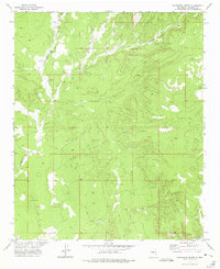
1972 · Chupadera Spring
USGS Topo · 1:24,000

1972 · Chupadera
USGS Topo · 1:24,000

1972 · Bigbee Draw
USGS Topo · 1:24,000

1972 · Wilson Ranch
USGS Topo · 1:24,000
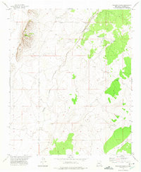
1972 · Orndorff Ranch
USGS Topo · 1:24,000