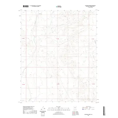
2020 Map of Chupadera Spring
USGS Topo · Published 2020About this map
Chupadera Spring sits as a vital water source in this arid landscape, a centerpiece of the high desert terrain of Socorro County. The topography is defined by significant drainage systems, notably the Chupadera Arroyo and the Alamito Arroyo, which channel seasonal runoff through the shifting elevations. To the north, the deep indentation of Cañon Trigo cuts into the mesas, while the braided path of Arroyo Seco meanders across the eastern sections of the quadrangle. This 2020 record reflects the modern managed landscape, where remote access is dictated by restricted corridors like WSMR P Route 9 and WSMR S Route 3703. The map preserves the grid of the Public Land Survey System, showing the township and range divisions that have structured New Mexico's land use for over a century.
Find a feature on this map
13 named features on this map. Tap any name to fly to it.
Don’t see what you’re looking for? This feature index may not catch every label — zoom into the map to look around manually.
Map Details
Editions of this 2020 Chupadera Spring Map
This is the sole edition of this map. No revisions or reprints were ever made.
Other maps of this area

1954 · Socorro
USGS Topo · 1:250,000

1958 · Socorro
USGS Topo · 1:250,000

1962 · Socorro
USGS Topo · 1:250,000

1972 · Turkey Ridge
USGS Topo · 1:24,000

1972 · Turkey Ridge SW
USGS Topo · 1:24,000
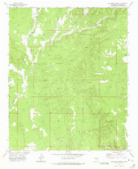
1972 · Chupadera Spring
USGS Topo · 1:24,000

1972 · Chupadera
USGS Topo · 1:24,000

1972 · Bigbee Draw
USGS Topo · 1:24,000

1972 · Wilson Ranch
USGS Topo · 1:24,000
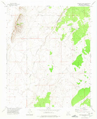
1972 · Orndorff Ranch
USGS Topo · 1:24,000