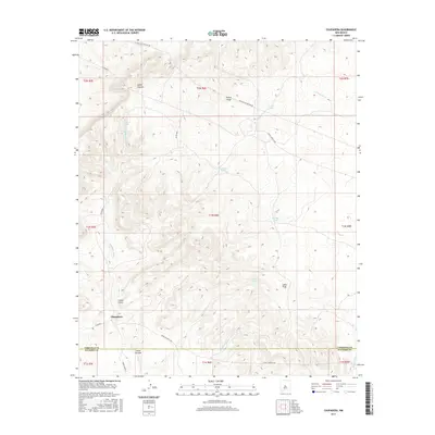
2017 Map of Chupadera
USGS Topo · Published 2017About this map
Chupadera sits at the southwestern edge of this landscape, where the high desert terrain is carved by a network of seasonal watercourses and deep canyons. The map documents a rugged drainage system dominated by the Chupadera Arroyo and the Alamito Arroyo, which gather runoff from numerous named canyons like Cañon Saladito, Cañon Latigo, and Cañon Trigo. These landforms suggest a reliance on ephemeral water sources in a dry environment, evidenced by the scattered water catchment features including Cueva Tank, La Cueva Tank, and Trigo Tank.
Find a feature on this map
28 named features on this map. Tap any name to fly to it.
Don’t see what you’re looking for? This feature index may not catch every label — zoom into the map to look around manually.
Map Details
Editions of this 2017 Chupadera Map
This is the sole edition of this map. No revisions or reprints were ever made.
Other maps of this area

1954 · Socorro
USGS Topo · 1:250,000

1958 · Socorro
USGS Topo · 1:250,000

1962 · Socorro
USGS Topo · 1:250,000

1972 · Turkey Ridge
USGS Topo · 1:24,000
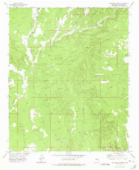
1972 · Chupadera Spring
USGS Topo · 1:24,000

1972 · Chupadera
USGS Topo · 1:24,000

1972 · Bigbee Draw
USGS Topo · 1:24,000

1972 · Abo
USGS Topo · 1:24,000
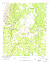
1972 · Scholle
USGS Topo · 1:24,000
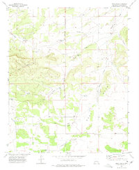
1972 · Mesa Draw
USGS Topo · 1:24,000