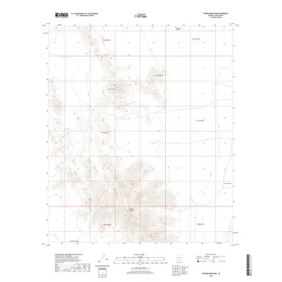
2018 Map of Chupan Mountain
USGS Topo · Published 2018About this map
Chupan Mtn and the surrounding high desert terrain define this corner of Pima County within the Pisinemo District. The landscape is characterized by the dramatic rise of the Mesquite Mountains and Mamtotk Peak, which overlook several distinct drainage basins. These basins include the broad Quijotoa Valley to the north, the Kom Vo Valley along the eastern edge, and the La Quituni Valley in the south. The map illustrates a strictly natural topography, lacking established roads or settlements, which highlights the isolation of these peaks. Surveyors documented the area through precise township and range boundaries, such as t17s r2w, providing a framework for understanding the geographical layout of this remote section of the Arizona desert.
Find a feature on this map
12 named features on this map. Tap any name to fly to it.
Don’t see what you’re looking for? This feature index may not catch every label — zoom into the map to look around manually.
Map Details
Editions of this 2018 Chupan Mountain Map
This is the sole edition of this map. No revisions or reprints were ever made.
Other maps of this area

1953 · Ajo
USGS Topo · 1:250,000

1954 · Sonoyta
USGS Topo · 1:250,000

1957 · Ajo
USGS Topo · 1:250,000

1958 · Ajo
USGS Topo · 1:250,000

1962 · Ajo
USGS Topo · 1:250,000

1963 · Ajo
USGS Topo · 1:250,000

1963 · Kom Vo
USGS Topo · 1:62,500

1963 · Mt. Ajo
USGS Topo · 1:62,500

1963 · Pisinimo
USGS Topo · 1:62,500

1963 · Lukeville
USGS Topo · 1:250,000