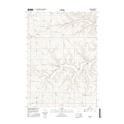
2015 Map of Church
USGS Topo · Published 2015About this map
Lansing Ridge dominates the northern landscape of this Allamakee County quadrangle, where high plateaus are deeply dissected by the winding courses of Clear Creek and Trout Run. The settlement of Lansing anchors the northeastern corner, marking the transition from the upland ridges toward the river valley. Further south, the community of Village Creek sits near its namesake waterway, Village Creek, reflecting a settlement pattern tied closely to the area's complex drainage network.
Find a feature on this map
71 named features on this map. Tap any name to fly to it.
Don’t see what you’re looking for? This feature index may not catch every label — zoom into the map to look around manually.
Map Details
Editions of this 2015 Church Map
This is the sole edition of this map. No revisions or reprints were ever made.
Other maps of this area

1903 · Waukon
USGS Topo · 1:125,000

1929 · Ferryville
USGS Topo · 1:62,500

1929 · Prairie Du Chien
USGS Topo · 1:62,500

1932 · Ferryville
USGS Topo · 1:62,500

1932 · Prairie Du Chien
USGS Topo · 1:62,500

1958 · La Crosse
USGS Topo · 1:250,000

1961 · La Crosse
USGS Topo · 1:250,000

1965 · La Crosse
USGS Topo · 1:250,000

1966 · Ferryville
USGS Topo · 1:62,500
1967 · Prairie Du Chien
USGS Topo · 1:62,500