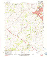
1978 Map of Church Hill
USGS Topo · Published 1991About this map
Hopkinsville dominates the northeastern corner of this Christian County landscape, showing suburban expansion through neighborhoods like Millbrooke and Indian Hills. The Illinois Central Gulf railroad cuts through the northern terrain, following the course of Sinking Creek. Beyond the city limits, the landscape transitions into a network of small settlements and rural crossroads, including Merrittstown and the community of Church Hill. The rural character is defined by several localized houses of worship, such as Hebron Ch, South Union Ch, and Liberty Ch, which often served as the social anchors for these farming communities. Along the North Fork Little River and South Fork Little River, the terrain features landmarks like Cedar Bluff and the aptly named Striped Bridge, illustrating the local reliance on the river system for both topography and transit.
Find a feature on this map
46 named features on this map. Tap any name to fly to it.
Don’t see what you’re looking for? This feature index may not catch every label — zoom into the map to look around manually.
Map Details
Editions of this 1978 Church Hill Map
2 editions found
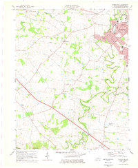
Other maps of this area

1944 · Clarksville
USGS Topo · 1:50,000

1950 · Caledonia
USGS Topo · 1:24,000

1951 · Church Hill
USGS Topo · 1:24,000

1951 · Caledonia
USGS Topo · 1:24,000

1951 · Hopkinsville
USGS Topo · 1:24,000

1951 · Roaring Spring
USGS Topo · 1:24,000

1951 · Herndon
USGS Topo · 1:24,000

1951 · Oak Grove
USGS Topo · 1:24,000

1952 · Pleasant Green Hill
USGS Topo · 1:24,000

1952 · Kelly
USGS Topo · 1:24,000