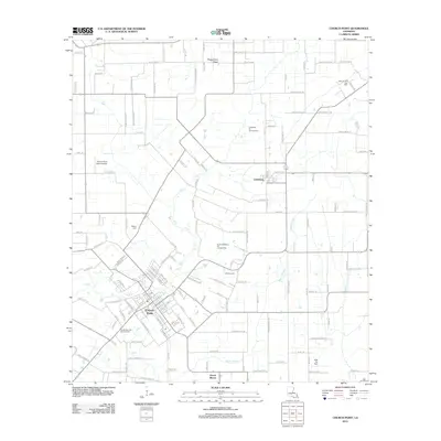
2012 Map of Church Point
USGS Topo · Published 2012About this map
Church Point serves as the primary hub of this Acadia Parish landscape, where a dense network of residential streets meets the agricultural and industrial fields of south Louisiana. The town's layout is intricately detailed, showing the concentration of commerce around the Po and the local aviation hub at Church Point Flyers Airport. The surrounding prairie is defined by the energy industry, with the Church Point Oil and Gas Field and Lewisburg Oil and Gas Field marking the terrain north and east of the main settlement.
Find a feature on this map
140 named features on this map. Tap any name to fly to it.
Don’t see what you’re looking for? This feature index may not catch every label — zoom into the map to look around manually.
Map Details
Editions of this 2012 Church Point Map
This is the sole edition of this map. No revisions or reprints were ever made.
Other maps of this area

1935 · Branch
USGS Topo · 1:31,680

1939 · Opelousas
USGS Topo · 1:62,500

1947 · Branch
USGS Topo · 1:31,680

1947 · Chataignier
USGS Topo · 1:31,680

1947 · Pitreville
USGS Topo · 1:31,680

1952 · Lake Charles
USGS Topo · 1:250,000

1954 · Lake Charles
USGS Topo · 1:250,000

1956 · Opelousas
USGS Topo · 1:62,500

1957 · Opelousas
USGS Topo · 1:62,500

1957 · Carencro
USGS Topo · 1:62,500