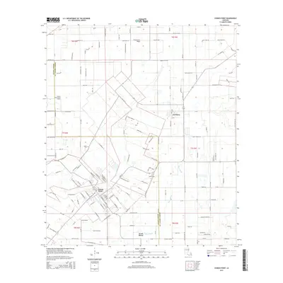
2015 Map of Church Point
USGS Topo · Published 2015About this map
Church Point serves as the primary hub on this Cajun prairie landscape, where the grid of town streets meets the winding path of Bayou Wikoff. The map illustrates a transition from the compact urban center to the surrounding agricultural fields of Acadia Parish and St. Landry Parish. Along the northern reaches, Plaquemine Ridge provides a subtle change in elevation above the wetlands. Smaller settlements and named locales like Lewisburg and Peach Bloom are interspersed with local heritage sites, including McBride Cem and Baptist Cem. This 2015 edition documents the modern road network, featuring routes such as La-358 and Brigman Hwy, while maintaining the historical footprint of rural schools and family-named roads like Duplechin Rd and Babineaux Rd that define the region's cultural geography.
Find a feature on this map
162 named features on this map. Tap any name to fly to it.
Don’t see what you’re looking for? This feature index may not catch every label — zoom into the map to look around manually.
Map Details
Editions of this 2015 Church Point Map
This is the sole edition of this map. No revisions or reprints were ever made.
Other maps of this area

1935 · Branch
USGS Topo · 1:31,680

1939 · Opelousas
USGS Topo · 1:62,500

1947 · Branch
USGS Topo · 1:31,680

1947 · Chataignier
USGS Topo · 1:31,680

1947 · Pitreville
USGS Topo · 1:31,680

1952 · Lake Charles
USGS Topo · 1:250,000

1954 · Lake Charles
USGS Topo · 1:250,000

1956 · Opelousas
USGS Topo · 1:62,500

1957 · Opelousas
USGS Topo · 1:62,500

1957 · Carencro
USGS Topo · 1:62,500