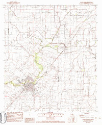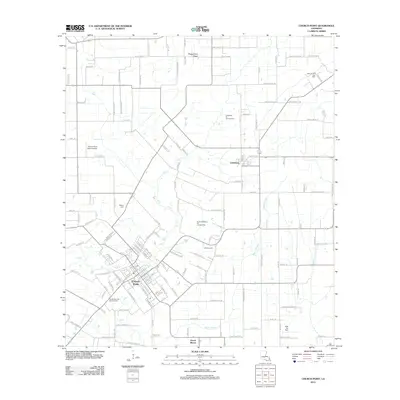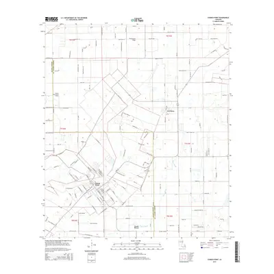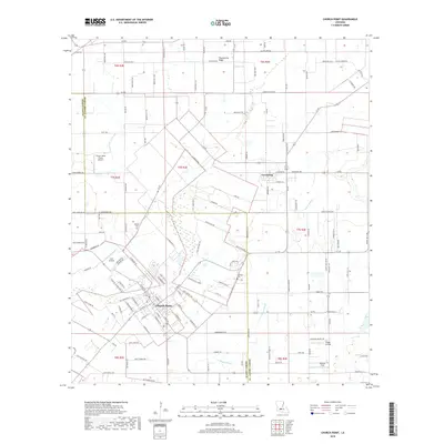
2024 Map of Church Point
USGS Topo · Published 2024About this map
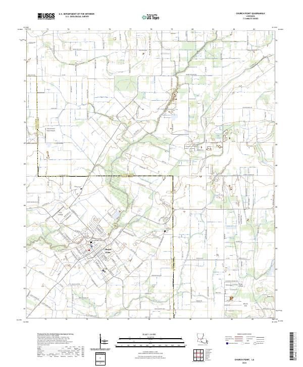
Church Point sits at the heart of this landscape, where the flat prairies of south Louisiana meet a network of family-owned farm roads and rural estates. The town's social fabric is reflected in local landmarks like Our Lady of Sacred Heart Cem and Baptist Cem, while the surrounding countryside is defined by the winding course of Bayou Wikoff. The presence of several private landing strips, including Church Point Flyers Airport, Lost Airfield, and Briggs Airfield, suggests a region where aviation has long supported both agricultural monitoring and private travel.
Find a feature on this map
131 named features on this map. Tap any name to fly to it.
Don’t see what you’re looking for? This feature index may not catch every label — zoom into the map to look around manually.
Map Details
Editions of this 2024 Church Point Map
This is the sole edition of this map. No revisions or reprints were ever made.
Historical Maps of Church Point Through Time
6 maps found