
1943 Map of Church Road
USGS Topo · Published 1961About this map
The Norfolk and Western railway cuts a distinct east-west line across this rural landscape, serving as the primary corridor for a series of small trackside communities including Ford, Walkers, Poole Siding, and Church Road. The terrain is defined by a dense network of tributaries flowing toward Namozine Creek and Whipponock Creek, with small settlements and family-named landmarks scattered across the timbered uplands and swamplands like Bar Swamp.
Find a feature on this map
27 named features on this map. Tap any name to fly to it.
Don’t see what you’re looking for? This feature index may not catch every label — zoom into the map to look around manually.
Map Details
Editions of this 1943 Church Road Map
This is the sole edition of this map. No revisions or reprints were ever made.
Other maps of this area

1897 · Amelia
USGS Topo · 1:125,000

1943 · Goodes Bridge
USGS Topo · 1:31,680

1943 · De Witt
USGS Topo · 1:24,000

1943 · Dinwiddie
USGS Topo · 1:24,000

1943 · Beach
USGS Topo · 1:24,000

1943 · Winterpock
USGS Topo · 1:24,000

1943 · Sutherland
USGS Topo · 1:24,000

1943 · Richmond
USGS Topo · 1:250,000
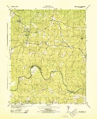
1944 · Winterpock
USGS Topo · 1:31,680
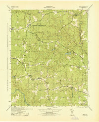
1944 · Beach
USGS Topo · 1:31,680