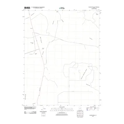
2010 Map of Church Rock
USGS Topo · Published 2010About this map
Dry Valley defines the central landscape of this San Juan County region, where the high desert is punctuated by massive sandstone monoliths and weathered formations. The namesake Church Rock stands as a prominent landmark near the junction of modern routes, while nearby Sugar Loaf Rock and George Rock serve as distinct visual anchors for travelers and residents. These formations are situated just north of the small settlement at Ogden Center, reflecting the sparse but enduring presence of human habitation in this arid expanse.
Find a feature on this map
23 named features on this map. Tap any name to fly to it.
Don’t see what you’re looking for? This feature index may not catch every label — zoom into the map to look around manually.
Map Details
Editions of this 2010 Church Rock Map
This is the sole edition of this map. No revisions or reprints were ever made.
Other maps of this area

1885 · La Sal
USGS Topo · 1:250,000

1886 · Abajo
USGS Topo · 1:250,000

1892 · Abajo
USGS Topo · 1:250,000

1893 · Abajo
USGS Topo · 1:250,000

1954 · Mt Peale 3 NW
USGS Topo · 1:24,000

1954 · Mt Peale 4 NW
USGS Topo · 1:24,000

1954 · Mt Peale 3 SW
USGS Topo · 1:24,000

1954 · Mt Peale 3 NE
USGS Topo · 1:24,000

1954 · Mt Peale 3 SE
USGS Topo · 1:24,000

1954 · Mt Peale 4 SW
USGS Topo · 1:24,000