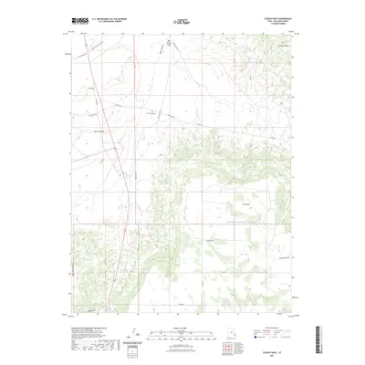
2023 Map of Church Rock
USGS Topo · Published 2023About this map
Sugar Loaf Rock stands as a prominent landmark in this corner of San Juan County, where the high desert terrain transitions into deep drainage systems. The landscape is defined by the broad expanse of Dry Valley and the elevated reaches of Deerneck Mesa, creating a rugged backdrop for a network of seasonal watercourses. These ephemeral streams, including Lightning Draw, East Canyon Wash, and Wild Horse Draw, trace the natural flow of the land toward the larger Big Canyon in the south. A system of county roads and named routes like Sugar Seed Rd and Peters Wash Rd provides access through this isolated geography, connecting significant topographic features such as The Gap and Bucks Flat. This 2023 survey documents the contemporary trail and road network used for land management and recreation across Peters Point Ridge and South Canyon Point.
Find a feature on this map
22 named features on this map. Tap any name to fly to it.
Don’t see what you’re looking for? This feature index may not catch every label — zoom into the map to look around manually.
Map Details
Editions of this 2023 Church Rock Map
This is the sole edition of this map. No revisions or reprints were ever made.
Other maps of this area

1885 · La Sal
USGS Topo · 1:250,000

1886 · Abajo
USGS Topo · 1:250,000

1892 · Abajo
USGS Topo · 1:250,000

1893 · Abajo
USGS Topo · 1:250,000

1954 · Mt Peale 3 NW
USGS Topo · 1:24,000

1954 · Mt Peale 4 NW
USGS Topo · 1:24,000

1954 · Mt Peale 3 SW
USGS Topo · 1:24,000

1954 · Mt Peale 3 NE
USGS Topo · 1:24,000

1954 · Mt Peale 3 SE
USGS Topo · 1:24,000

1954 · Mt Peale 4 SW
USGS Topo · 1:24,000