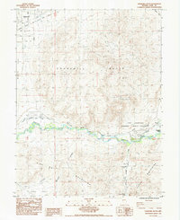
1985 Map of Churchill Butte
USGS Topo · Published 1985About this map
Fort Churchill Historic State Monument stands as a central landmark in this 1980s-era survey, preserving the remnants of Nevada's first military post along the Carson River. The landscape is a corridor of historical travel, marked by the intersecting paths of the California Emigrant Trail and the Emigrant Trail that once guided pioneers across the high desert. Settlement patterns are concentrated near the river at Bucklands Station, while the western edge of the map shows the development of Stagecoach. The rugged interior is dominated by the Churchill Butte and the Pine Nut Mountains, where extraction efforts like the Ruth Mine and various gravel pits reveal the region's mineral interests. This document provides a look at the transition from early pioneer outposts to modern rural settlement, anchored by the Churchill (Site) and essential water sources like Stockton Well and Churchill Station Spring.
Find a feature on this map
30 named features on this map. Tap any name to fly to it.
Don’t see what you’re looking for? This feature index may not catch every label — zoom into the map to look around manually.
Map Details
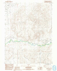
Editions of this 1985 Churchill Butte Map
2 editions found
Other maps of this area

1891 · Wabuska
USGS Topo · 1:125,000

1894 · Wabuska
USGS Topo · 1:125,000

1957 · Como
USGS Topo · 1:62,500

1957 · Wabuska
USGS Topo · 1:62,500

1957 · Churchill Butte
USGS Topo · 1:62,500

1957 · Silver Springs
USGS Topo · 1:62,500

1957 · Reno
USGS Topo · 1:250,000

1959 · Reno
USGS Topo · 1:250,000

1960 · Reno
USGS Topo · 1:250,000

1979 · Carson City
USGS Topo · 1:100,000