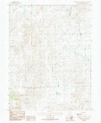
1987 Map of Churchill Canyon Well
USGS Topo · Published 1987About this map
Churchill Canyon and its namesake Churchill Canyon Well define this arid landscape in Lyon Co., Nevada, during the late 1980s. The map illustrates a region driven by infrastructure and extraction, centered around the Southern Pacific railroad line that cuts through Adrian Valley in the northeast. Evidence of industrial activity is scattered across the terrain, including a notable Mine Shaft and multiple utility corridors marked as Trans Line and Pipeline.
Find a feature on this map
16 named features on this map. Tap any name to fly to it.
Don’t see what you’re looking for? This feature index may not catch every label — zoom into the map to look around manually.
Map Details
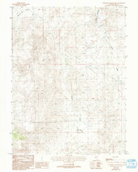
Editions of this 1987 Churchill Canyon Well Map
2 editions found
Other maps of this area

1891 · Wabuska
USGS Topo · 1:125,000

1894 · Wabuska
USGS Topo · 1:125,000

1957 · Como
USGS Topo · 1:62,500

1957 · Wabuska
USGS Topo · 1:62,500

1957 · Churchill Butte
USGS Topo · 1:62,500

1957 · Silver Springs
USGS Topo · 1:62,500

1957 · Reno
USGS Topo · 1:250,000

1959 · Reno
USGS Topo · 1:250,000

1960 · Reno
USGS Topo · 1:250,000

1979 · Carson City
USGS Topo · 1:100,000