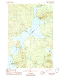
1989 Map of Churchill Lake
USGS Topo · Published 1989About this map
Churchill Lake and its surrounding wilderness define this section of the Allagash Wilderness State Waterway in northern Maine. The landscape is dominated by a chain of water bodies, including Round Pond and the northern reaches of Eagle Lake, connected by the narrow Thoroughfare. At the north end of the lake, Churchill Depot and Churchill Dam mark a critical juncture where the Allagash River begins its descent through Chase Rapids.
Find a feature on this map
41 named features on this map. Tap any name to fly to it.
Don’t see what you’re looking for? This feature index may not catch every label — zoom into the map to look around manually.
Map Details
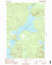
Editions of this 1989 Churchill Lake Map
2 editions found
Other maps of this area

1932 · Umsaskis Lake
USGS Topo · 1:48,000

1932 · Musquacook Lakes
USGS Topo · 1:48,000

1935 · Umsaskis Lake
USGS Topo · 1:62,500

1935 · Musquacook Lakes
USGS Topo · 1:62,500

1954 · Spider Lake
USGS Topo · 1:62,500

1954 · Churchill Lake
USGS Topo · 1:62,500

1954 · Presque Isle
USGS Topo · 1:250,000

1958 · Presque Isle
USGS Topo · 1:250,000

1960 · Presque Isle
USGS Topo · 1:250,000

1961 · Spider Lake
USGS Topo · 1:62,500