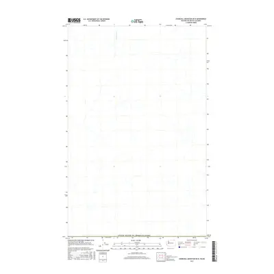
2017 Map of Churchill Mountain OE N
USGS Topo · Published 2017About this map
The United States of America/Canada international boundary defines the southern edge of this map, reflecting the geopolitical division within the northern Cascades region. The landscape is primarily shaped by its drainage patterns, most notably the winding course of Sutherland Cr as it flows through the northern reaches of the quadrangle. This 2017 survey emphasizes the natural hydrography of the borderlands, showing a complex network of unnamed tributaries that feed into the larger creek system. The map serves as a precise record of the physical geography and administrative boundaries in this high-latitude terrain, where the straight-line border of the 49th parallel intersects the fluid paths of mountain watercourses.
Find a feature on this map
2 named features on this map. Tap any name to fly to it.
Don’t see what you’re looking for? This feature index may not catch every label — zoom into the map to look around manually.
Map Details
Editions of this 2017 Churchill Mountain OE N Map
This is the sole edition of this map. No revisions or reprints were ever made.
Other maps of this area

1929 · Colville
USGS Topo · 1:125,000

1933 · Colville
USGS Topo · 1:125,000

1936 · Marcus
USGS Topo · 1:96,000

1942 · Marcus
USGS Topo · 1:125,000

1948 · Orient
USGS Topo · 1:62,500

1951 · Orient
USGS Topo · 1:62,500

1954 · Okanogan
USGS Topo · 1:250,000

1958 · Okanogan
USGS Topo · 1:250,000

1958 · Sandpoint
USGS Topo · 1:250,000

1963 · Sandpoint
USGS Topo · 1:250,000