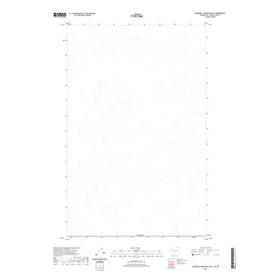
2020 Map of Churchill Mountain OE N
USGS Topo · Published 2020About this map
Hydrological patterns and international boundaries define this 2020 topographic record of the terrain north of the American border. The map is centered on a drainage network of unnamed creeks and seasonal streams that flow through the highlands of British Columbia. The southern margin is strictly defined by the Canada border, showing the interface between the Kootenay Boundary region and the United States. This survey provides a clear view of the natural watercourses and topography in a region largely devoid of named settlements or infrastructure, offering a detailed look at the drainage basins that feed into the larger river systems of the Pacific Northwest.
Find a feature on this map
1 named feature on this map. Tap any name to fly to it.
Don’t see what you’re looking for? This feature index may not catch every label — zoom into the map to look around manually.
Map Details
Editions of this 2020 Churchill Mountain OE N Map
This is the sole edition of this map. No revisions or reprints were ever made.
Other maps of this area

1929 · Colville
USGS Topo · 1:125,000

1933 · Colville
USGS Topo · 1:125,000

1936 · Marcus
USGS Topo · 1:96,000

1942 · Marcus
USGS Topo · 1:125,000

1948 · Orient
USGS Topo · 1:62,500

1951 · Orient
USGS Topo · 1:62,500

1954 · Okanogan
USGS Topo · 1:250,000

1958 · Okanogan
USGS Topo · 1:250,000

1958 · Sandpoint
USGS Topo · 1:250,000

1963 · Sandpoint
USGS Topo · 1:250,000