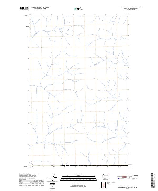
2023 Map of Churchill Mountain OE N
USGS Topo · Published 2023About this map
Sutherland Creek and Swehaw Creek drain the northern reaches of this territory in Stevens County, where the topography is defined by an intricate network of drainage basins. This modern topographic study shows a landscape largely shaped by its hydrology, with watercourses such as Italy Creek and Bitter Creek carving through the terrain before meeting larger arteries like the American Fork. The southern border is anchored by Bowen Mtn, a prominent natural landmark that overlooks the headwaters of O'Farrell Creek. In the southeast, Hunters Creek and Santa Rosa Creek dominate the drainage pattern, illustrating the remote and undeveloped character of this section of Washington. The lack of built infrastructure or named settlements emphasizes a preserved natural environment where the primary features are these namesake creeks and mountains.
Find a feature on this map
10 named features on this map. Tap any name to fly to it.
Don’t see what you’re looking for? This feature index may not catch every label — zoom into the map to look around manually.
Map Details
Editions of this 2023 Churchill Mountain OE N Map
This is the sole edition of this map. No revisions or reprints were ever made.
Other maps of this area

1929 · Colville
USGS Topo · 1:125,000

1933 · Colville
USGS Topo · 1:125,000

1936 · Marcus
USGS Topo · 1:96,000

1942 · Marcus
USGS Topo · 1:125,000

1948 · Orient
USGS Topo · 1:62,500

1951 · Orient
USGS Topo · 1:62,500

1954 · Okanogan
USGS Topo · 1:250,000

1958 · Okanogan
USGS Topo · 1:250,000

1958 · Sandpoint
USGS Topo · 1:250,000

1963 · Sandpoint
USGS Topo · 1:250,000