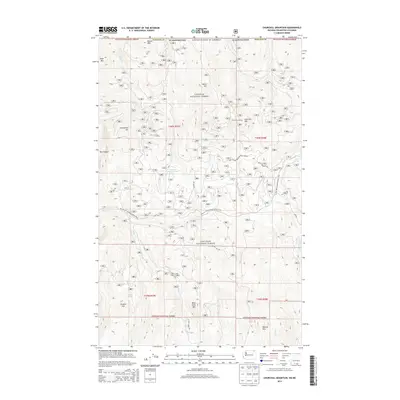
2014 Map of Churchill Mountain
USGS Topo · Published 2014About this map
Colville National Forest dominates this northeastern Washington landscape, characterized by high-elevation peaks and narrow drainages. The topography is defined by prominent summits such as Churchill Mtn and Horns Mtn, while the southwestern corner features the lower elevations of Hungry Hill. Water systems are central to the area's layout, with Fisher Cr and Pierre Cr cutting through the terrain. Evidence of back-country utility is seen at the Fisher Creek Cabin, while the presence of White Horsemine Rd and Mineral Mtn suggests a history of prospecting and resource extraction in these mountains.
Find a feature on this map
31 named features on this map. Tap any name to fly to it.
Don’t see what you’re looking for? This feature index may not catch every label — zoom into the map to look around manually.
Map Details
Editions of this 2014 Churchill Mountain Map
This is the sole edition of this map. No revisions or reprints were ever made.
Other maps of this area

1929 · Colville
USGS Topo · 1:125,000

1933 · Colville
USGS Topo · 1:125,000

1936 · Marcus
USGS Topo · 1:96,000

1942 · Marcus
USGS Topo · 1:125,000

1948 · Orient
USGS Topo · 1:62,500

1951 · Orient
USGS Topo · 1:62,500

1954 · Okanogan
USGS Topo · 1:250,000

1958 · Okanogan
USGS Topo · 1:250,000

1958 · Sandpoint
USGS Topo · 1:250,000

1963 · Sandpoint
USGS Topo · 1:250,000