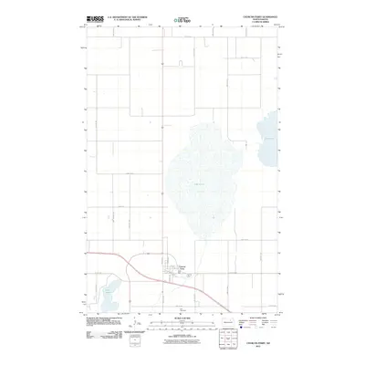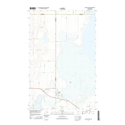
2024 Map of Churchs Ferry
USGS Topo · Published 2024About this map
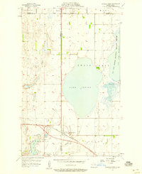
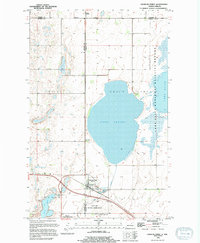
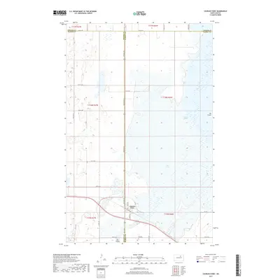
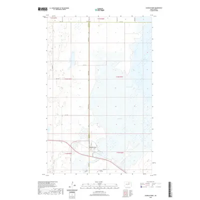
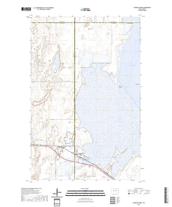
Churchs Ferry anchors the southern portion of this landscape, situated near the intersection of US Hwy 281 and local routes like Orvis Ave and Elevator Rd. The settlement is defined by its proximity to a vast network of water bodies and conservation lands, including the Lake Alice National Wildlife Refuge and the Silver Lake National Wildlife Refuge. The terrain is dominated by the sprawling waters of Lake Irvine and Lake Alice, which are interconnected by the drainage systems of Mauvais Coulee and Big Coulee. This area at the border of Ramsey and Benson counties reflects a landscape dedicated to waterfowl preservation and agricultural transport, with the Churchs Ferry Cem and the Leeds Irvine boundary providing specific points of interest for genealogical and regional study.
Find a feature on this map
35 named features on this map. Tap any name to fly to it.
Don’t see what you’re looking for? This feature index may not catch every label — zoom into the map to look around manually.
Map Details
Editions of this 2024 Churchs Ferry Map
This is the sole edition of this map. No revisions or reprints were ever made.
Historical Maps of Churchs Ferry Through Time
7 maps found