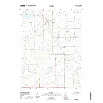
2019 Map of Churubusco
USGS Topo · Published 2019About this map
Churubusco serves as the primary hub of activity in this Northeast Indiana landscape, where the boundary between Whitley Co and Allen Co defines the eastern edge of the quadrangle. The terrain is defined by a complex drainage network, notably the Eel River and its various tributaries like Watterson Ditch and Johnson Ditch. Small water bodies such as Lake Everett, Blue Lake, and the ominously named Devils Lake are scattered throughout the glacial topography.
Find a feature on this map
102 named features on this map. Tap any name to fly to it.
Don’t see what you’re looking for? This feature index may not catch every label — zoom into the map to look around manually.
Map Details
Editions of this 2019 Churubusco Map
This is the sole edition of this map. No revisions or reprints were ever made.
Other maps of this area

1951 · Merriam
USGS Topo · 1:24,000

1953 · Fort Wayne
USGS Topo · 1:250,000

1955 · Columbia City
USGS Topo · 1:24,000

1955 · Ege
USGS Topo · 1:24,000

1956 · Fort Wayne
USGS Topo · 1:250,000

1956 · Fort Wayne West
USGS Topo · 1:24,000

1957 · Huntertown
USGS Topo · 1:24,000

1957 · Garrett
USGS Topo · 1:24,000

1957 · Churubusco
USGS Topo · 1:24,000

1961 · Arcola
USGS Topo · 1:24,000