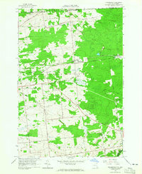
1964 Map of Churubusco
USGS Topo · Published 1965About this map
The international border between New York and Quebec defines the northern landscape of this region, marked by the Customs Port of Entry and its northern counterpart, the Canadian Customs Port of Entry. This mid-1960s survey captures the rural character of Clinton County, where the settlement of Churubusco serves as a central point along the local road network. The map reveals a transition in the local economy, shown through the Old RR Grade Abandoned that once connected Clinton Mills to the wider region.
Find a feature on this map
33 named features on this map. Tap any name to fly to it.
Don’t see what you’re looking for? This feature index may not catch every label — zoom into the map to look around manually.
Map Details
Editions of this 1964 Churubusco Map
2 editions found
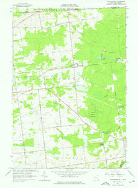
Other maps of this area

1915 · Churubusco
USGS Topo · 1:62,500

1915 · Chateaugay
USGS Topo · 1:62,500

1943 · Churubusco
USGS Topo · 1:62,500

1943 · Chateaugay
USGS Topo · 1:62,500

1948 · Ogdensburg
USGS Topo · 1:250,000

1950 · Lake Champlain
USGS Topo · 1:250,000

1951 · Ogdensburg
USGS Topo · 1:250,000

1953 · Ogdensburg
USGS Topo · 1:250,000

1958 · Lake Champlain
USGS Topo · 1:250,000

1961 · Ogdensburg
USGS Topo · 1:250,000