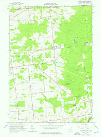
1964 Map of Churubusco
USGS Topo · Published 1976About this map
Churubusco serves as a focal point in this northern borderland, where the Customs Port of Entry marks the passage between the United States and Canada. The landscape is defined by its agrarian and industrial past, particularly evident in the Old Rr Grade Abandoned that once connected these rural outposts. Small clusters of activity are noted at Clinton Mills and Frontier, with family-named routes like Santamore Road, Merchia Road, and Lagree Road weaving together the various farms and homesteads of Clinton and Ellenburg townships.
Find a feature on this map
38 named features on this map. Tap any name to fly to it.
Don’t see what you’re looking for? This feature index may not catch every label — zoom into the map to look around manually.
Map Details
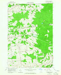
Editions of this 1964 Churubusco Map
2 editions found
Other maps of this area

1915 · Churubusco
USGS Topo · 1:62,500

1915 · Chateaugay
USGS Topo · 1:62,500

1943 · Churubusco
USGS Topo · 1:62,500

1943 · Chateaugay
USGS Topo · 1:62,500

1948 · Ogdensburg
USGS Topo · 1:250,000

1950 · Lake Champlain
USGS Topo · 1:250,000

1951 · Ogdensburg
USGS Topo · 1:250,000

1953 · Ogdensburg
USGS Topo · 1:250,000

1958 · Lake Champlain
USGS Topo · 1:250,000

1961 · Ogdensburg
USGS Topo · 1:250,000