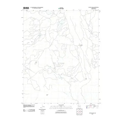
2010 Map of Chuska Peak
USGS Topo · Published 2010About this map
Chuska Mountains terrain dominates this high-altitude landscape, characterized by a complex network of seasonal washes and perennial springs. The high ground is marked by prominent landmarks such as Chuska Peak in the south and the Tohatchi Lookout further west. Strategic passages like Antelope Pass and the steep Deza Bluffs define the movement across this part of the Navajo Nation.
Find a feature on this map
25 named features on this map. Tap any name to fly to it.
Don’t see what you’re looking for? This feature index may not catch every label — zoom into the map to look around manually.
Map Details
Editions of this 2010 Chuska Peak Map
This is the sole edition of this map. No revisions or reprints were ever made.
Other maps of this area

1886 · Wingate
USGS Topo · 1:250,000

1889 · Chaco
USGS Topo · 1:250,000

1892 · Wingate
USGS Topo · 1:250,000

1892 · Chaco
USGS Topo · 1:250,000

1954 · Shiprock
USGS Topo · 1:250,000

1954 · Gallup
USGS Topo · 1:250,000

1955 · Tohatchi
USGS Topo · 1:62,500

1958 · Gallup
USGS Topo · 1:250,000

1958 · Shiprock
USGS Topo · 1:250,000

1959 · Shiprock
USGS Topo · 1:250,000