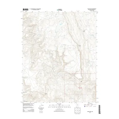
2013 Map of Chuska Peak
USGS Topo · Published 2013About this map
Chuska Peak stands as a prominent high point in this high-elevation landscape of the Chuska Mountains, surveyed early in the twenty-first century. The terrain is defined by a complex network of seasonal drainages and springs, suggesting a territory where water sources like Whiskey Lake and Manuelito Spring are vital geographic markers. A single primary artery, Antelope Pass Rd, traverses the higher ground through Antelope Pass, connecting the high ridges with the lower-lying Mountain Valley.
Find a feature on this map
29 named features on this map. Tap any name to fly to it.
Don’t see what you’re looking for? This feature index may not catch every label — zoom into the map to look around manually.
Map Details
Editions of this 2013 Chuska Peak Map
This is the sole edition of this map. No revisions or reprints were ever made.
Other maps of this area

1886 · Wingate
USGS Topo · 1:250,000

1889 · Chaco
USGS Topo · 1:250,000

1892 · Wingate
USGS Topo · 1:250,000

1892 · Chaco
USGS Topo · 1:250,000

1954 · Shiprock
USGS Topo · 1:250,000

1954 · Gallup
USGS Topo · 1:250,000

1955 · Tohatchi
USGS Topo · 1:62,500

1958 · Gallup
USGS Topo · 1:250,000

1958 · Shiprock
USGS Topo · 1:250,000

1959 · Shiprock
USGS Topo · 1:250,000