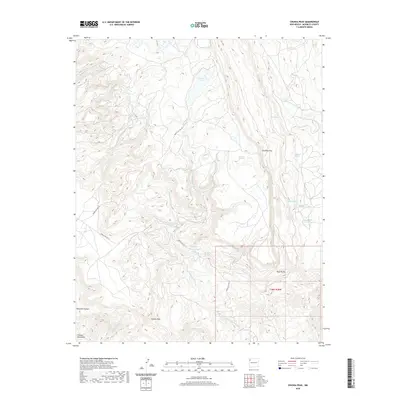
2020 Map of Chuska Peak
USGS Topo · Published 2020About this map
Chuska Peak towers over this high-elevation landscape in McKinley County, serving as a prominent landmark within the Chuska Mountains. The terrain is defined by a complex network of seasonal water sources and named springs, including Oak Spring, Dadasoa Spring, and Manuelito Spring, which have historically supported life in this arid region. The presence of Whiskey Lake and Red Pond at high altitudes suggests a landscape where water management and natural catchment were vital for both indigenous populations and later travelers.
Find a feature on this map
26 named features on this map. Tap any name to fly to it.
Don’t see what you’re looking for? This feature index may not catch every label — zoom into the map to look around manually.
Map Details
Editions of this 2020 Chuska Peak Map
This is the sole edition of this map. No revisions or reprints were ever made.
Other maps of this area

1886 · Wingate
USGS Topo · 1:250,000

1889 · Chaco
USGS Topo · 1:250,000

1892 · Wingate
USGS Topo · 1:250,000

1892 · Chaco
USGS Topo · 1:250,000

1954 · Shiprock
USGS Topo · 1:250,000

1954 · Gallup
USGS Topo · 1:250,000

1955 · Tohatchi
USGS Topo · 1:62,500

1958 · Gallup
USGS Topo · 1:250,000

1958 · Shiprock
USGS Topo · 1:250,000

1959 · Shiprock
USGS Topo · 1:250,000