
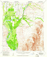
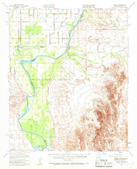
1951 Map of Cibola
USGS Topo · Published 1952About this map
The Colorado River serves as the central artery for this borderland survey, winding through the expansive Cibola Valley and its broad Flood Plain. The river defines the shifting boundaries between California and Arizona, where the town of Cibola sits in the valley bottom near Davis Lake. On the California side, the settlement of Palo Verde anchors a network of canals and drains, while evidence of earlier river crossings persists at the Taylor Ferry (Site) and Rannells (Site).
Find a feature on this map
25 named features on this map. Tap any name to fly to it.
Don’t see what you’re looking for? This feature index may not catch every label — zoom into the map to look around manually.
Map Details
Editions of this 1951 Cibola Map
3 editions found
Other maps of this area

1933 · Cunningham Mtn
USGS Topo · 1:48,000

1934 · Trigo Peaks
USGS Topo · 1:48,000

1939 · Red Hill
USGS Topo · 1:62,500

1939 · Trigo Peaks
USGS Topo · 1:62,500

1940 · Dome Rock Mts
USGS Topo · 1:62,500

1942 · Blythe
USGS Topo · 1:250,000

1945 · Cibola
USGS Topo · 1:62,500

1945 · Picacho
USGS Topo · 1:62,500

1951 · Picacho
USGS Topo · 1:62,500

1951 · Blythe
USGS Topo · 1:24,000