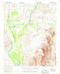
1951 Map of Cibola
USGS Topo · Published 1968About this map
The Colorado River carves a complex path through this 1951 study, defining the boundary between California and Arizona and sustaining the Cibola Flood Plain. This desert river landscape is characterized by its agricultural irrigation network, including the Palo Verde Canal and Palo Verde Drain, which support the settlement of Palo Verde and nearby Rannells (Site). The map captures a moment when the river's influence was heavily managed but still prone to shifting, as evidenced by remnant oxbows and backwaters like Davis Lake and Three Fingers Lake.
Find a feature on this map
29 named features on this map. Tap any name to fly to it.
Don’t see what you’re looking for? This feature index may not catch every label — zoom into the map to look around manually.
Map Details
Editions of this 1951 Cibola Map
3 editions found

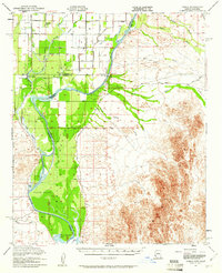
Other maps of this area

1933 · Cunningham Mtn
USGS Topo · 1:48,000

1934 · Trigo Peaks
USGS Topo · 1:48,000

1939 · Red Hill
USGS Topo · 1:62,500

1939 · Trigo Peaks
USGS Topo · 1:62,500

1940 · Dome Rock Mts
USGS Topo · 1:62,500

1942 · Blythe
USGS Topo · 1:250,000

1945 · Cibola
USGS Topo · 1:62,500

1945 · Picacho
USGS Topo · 1:62,500

1951 · Picacho
USGS Topo · 1:62,500

1951 · Blythe
USGS Topo · 1:24,000