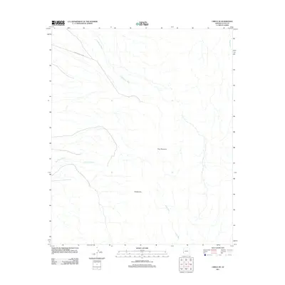
2011 Map of Cibola SE
USGS Topo · Published 2011About this map
The Trigo Mountains define this arid landscape in La Paz County, where the desert surface is carved by numerous drainage systems. A significant portion of the northwestern terrain falls within the Yuma Proving Ground, reflecting the military's long-standing footprint in this region. This 2011 survey documents the natural topography and primitive road networks that navigate through features like Needles Eye. The area is characterized by its dramatic seasonal watercourses, including Crazy Woman Wash and Hart Mine Wash, which flow toward the river valley to the west. This map serves as a primary reference for the drainage patterns of Lopez Wash and Gould Wash during the early 21st century.
Find a feature on this map
7 named features on this map. Tap any name to fly to it.
Don’t see what you’re looking for? This feature index may not catch every label — zoom into the map to look around manually.
Map Details
Editions of this 2011 Cibola SE Map
This is the sole edition of this map. No revisions or reprints were ever made.
Other maps of this area

1934 · Trigo Peaks
USGS Topo · 1:48,000

1939 · Red Hill
USGS Topo · 1:62,500

1939 · Trigo Peaks
USGS Topo · 1:62,500

1942 · Blythe
USGS Topo · 1:250,000

1945 · Cibola
USGS Topo · 1:62,500

1945 · Picacho
USGS Topo · 1:62,500

1951 · Picacho
USGS Topo · 1:62,500

1951 · Cibola
USGS Topo · 1:62,500

1952 · Mule Wash
USGS Topo · 1:24,000

1952 · Palo Verde
USGS Topo · 1:24,000