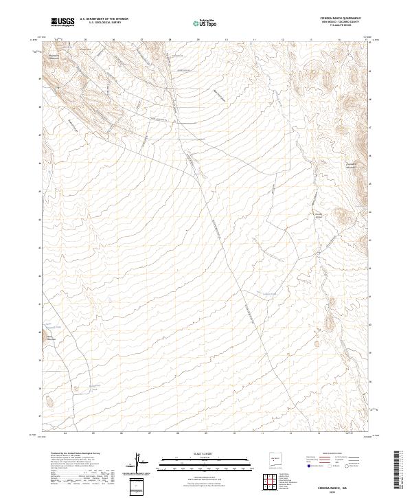
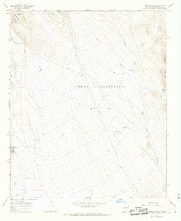
2023 Map of Cienega Ranch
USGS Topo · Published 2023About this map
Cienega Ranch sits at the heart of this high-desert landscape in Socorro County, where the eastern slopes of the Magdalena Mountains meet a network of alluvial fans and deep arroyos. The map reveals a land defined by water management and ranching infrastructure, punctuated by numerous catchments such as Horse Mountain Tank, Homestead Tank, and Cement Tank. These features, along with Burro Spring, suggest the critical importance of every water source in this arid environment.
Find a feature on this map
32 named features on this map. Tap any name to fly to it.
Don’t see what you’re looking for? This feature index may not catch every label — zoom into the map to look around manually.
Map Details
Editions of this 2023 Cienega Ranch Map
This is the sole edition of this map. No revisions or reprints were ever made.
Other maps of this area

1948 · San Antonio
USGS Topo · 1:62,500

1948 · Val Verde
USGS Topo · 1:62,500

1954 · Tularosa
USGS Topo · 1:250,000

1958 · Tularosa
USGS Topo · 1:250,000

1961 · Hickman Ranch
USGS Topo · 1:24,000

1961 · Fort Craig
USGS Topo · 1:24,000
1965 · Puertecito Gap
USGS Topo · 1:24,000
1965 · South Baldy
USGS Topo · 1:24,000
1965 · Molino Peak
USGS Topo · 1:24,000
1965 · Cienega Ranch
USGS Topo · 1:24,000