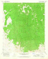
1965 Map of South Baldy
USGS Topo · Published 1968About this map
Magdalena Mountains dominate this high-altitude landscape in the Cibola National Forest, where steep canyons and significant peaks define the mid-1960s terrain. The area is marked by scientific and observation outposts, most notably the Langmuir Laboratory and a Lookout Shelter atop South Baldy. These facilities suggest the region's importance for atmospheric research and fire oversight during this era.
Find a feature on this map
40 named features on this map. Tap any name to fly to it.
Don’t see what you’re looking for? This feature index may not catch every label — zoom into the map to look around manually.
Map Details
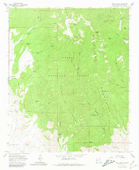
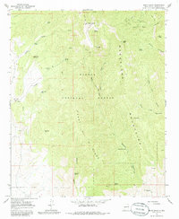
Editions of this 1965 South Baldy Map
Other maps of this area

1954 · Tularosa
USGS Topo · 1:250,000

1954 · Socorro
USGS Topo · 1:250,000

1958 · Socorro
USGS Topo · 1:250,000

1958 · Tularosa
USGS Topo · 1:250,000

1959 · Magdalena
USGS Topo · 1:62,500

1962 · Socorro
USGS Topo · 1:250,000

1963 · Arroyo Landavaso
USGS Topo · 1:24,000
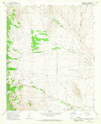
1965 · Tenmile Hill
USGS Topo · 1:24,000
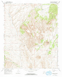
1965 · Squaw Peak
USGS Topo · 1:24,000
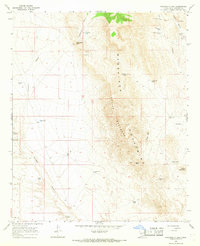
1965 · Puertecito Gap
USGS Topo · 1:24,000