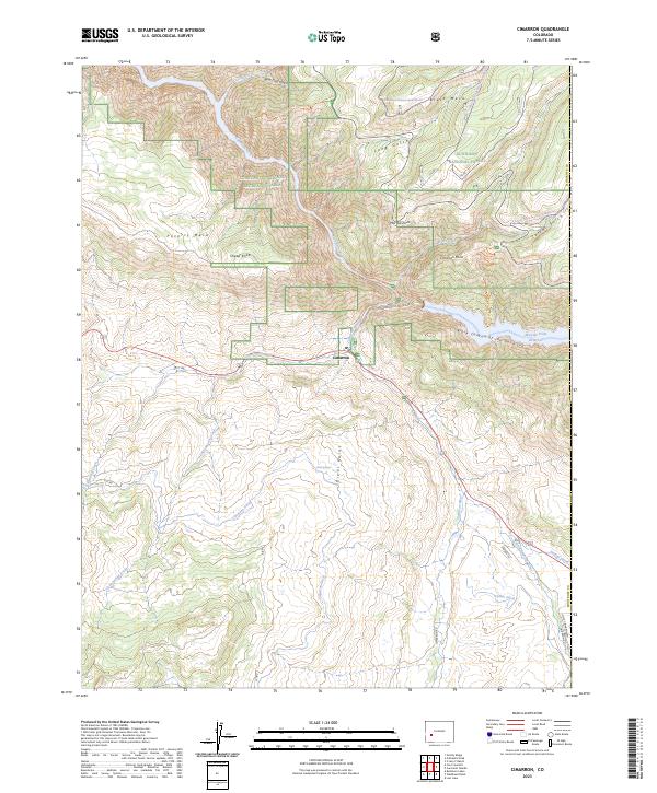
2023 Map of Cimarron
USGS Topo · Published 2023About this map
Cimarron sits at the junction of several drainage systems where the Cimarron Creek meets the Gunnison River corridor. This modern survey illustrates the complex water management and recreation infrastructure of the Western Slope, dominated by the Morrow Point Reservoir and the sheer verticality of the Black Canyon of the Gunnison. The landscape is a mix of high plateaus and deep cuts, including Poverty Mesa and Black Mesa, which define the local topography.
Find a feature on this map
36 named features on this map. Tap any name to fly to it.
Don’t see what you’re looking for? This feature index may not catch every label — zoom into the map to look around manually.
Map Details
Editions of this 2023 Cimarron Map
This is the sole edition of this map. No revisions or reprints were ever made.
Other maps of this area

1908 · Uncompahgre
USGS Topo · 1:125,000

1909 · Montrose
USGS Topo · 1:125,000

1911 · Uncompahgre
USGS Topo · 1:125,000

1911 · Montrose
USGS Topo · 1:125,000

1956 · Curecanti Needle
USGS Topo · 1:24,000

1956 · Cimarron
USGS Topo · 1:24,000

1956 · Montrose
USGS Topo · 1:250,000

1957 · Cathedral Peak
USGS Topo · 1:24,000

1957 · X Lazy F Ranch
USGS Topo · 1:24,000

1957 · Cerro Summit
USGS Topo · 1:24,000