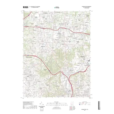
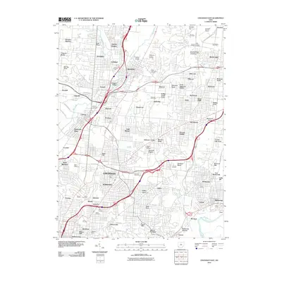
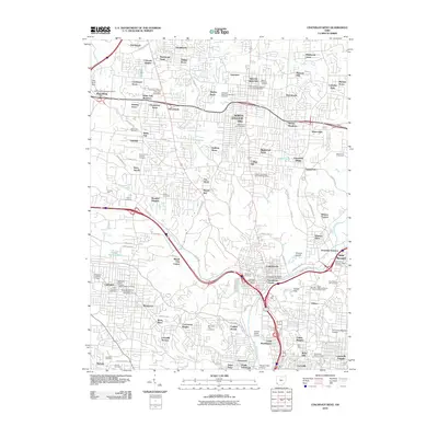
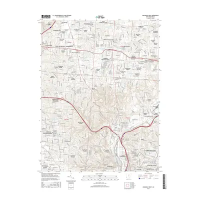
2023 Map of Cincinnati West
USGS Topo · Published 2023About this map
Spring Grove Cem and Arboretum serves as a massive landscape anchor in this northern reach of the city, where the industrial corridors of Mill Creek meet established residential neighborhoods. The map illustrates a dense mosaic of early 21st-century suburban and urban settlement, from the northern heights of Northbrook and New Burlington down to the institutional heart of Cincinnati.
Find a feature on this map
113 named features on this map. Tap any name to fly to it.
Don’t see what you’re looking for? This feature index may not catch every label — zoom into the map to look around manually.
Map Details
Editions of this 2023 Cincinnati West Map
This is the sole edition of this map. No revisions or reprints were ever made.
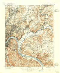
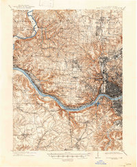
Historical Maps of Cincinnati Through Time
17 maps found

1898 East Cincinnati
Hamilton County, OH
1914 East Cincinnati
Hamilton County, OH
1914 West Cincinnati
Hamilton County, OH
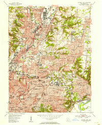
1953 Cincinnati East
Hamilton County, OH
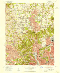
1953 Cincinnati West
Hamilton County, OH
1961 Cincinnati East
Hamilton County, OH
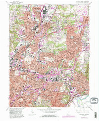
1961 Cincinnati West
Hamilton County, OH
2010 Cincinnati East
Hamilton County, OH
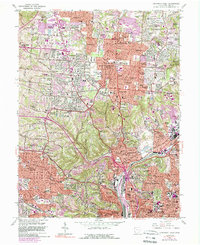
2010 Cincinnati West
Hamilton County, OH
2013 Cincinnati East
Hamilton County, OH
2013 Cincinnati West
Hamilton County, OH
2016 Cincinnati East
Hamilton County, OH
2016 Cincinnati West
Hamilton County, OH
2019 Cincinnati East
Hamilton County, OH
2019 Cincinnati West
Hamilton County, OH
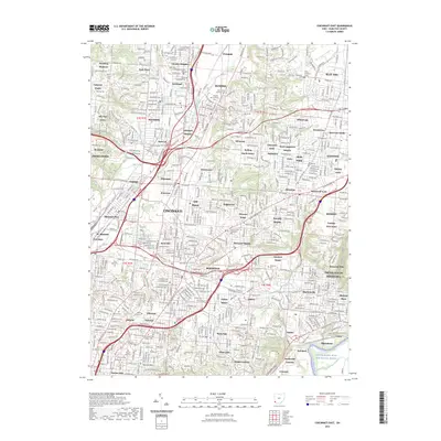
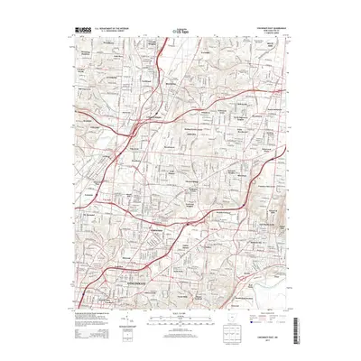
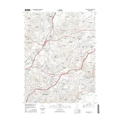
2023 Cincinnati East
Hamilton County, OH
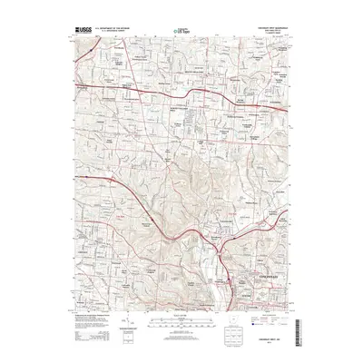
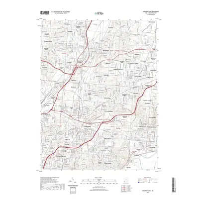
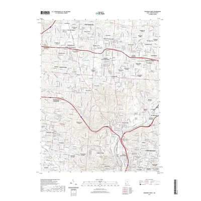
2023 Cincinnati West
Hamilton County, OH