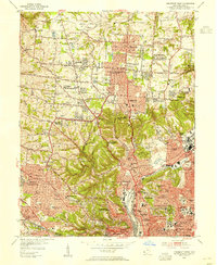
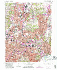
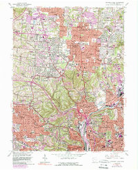
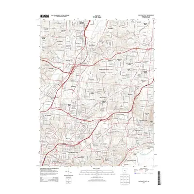
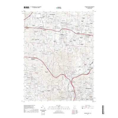
1953 Map of Cincinnati West
USGS Topo · Published 1955About this map
Cincinnati's western suburbs and the winding valley of Mill Creek define this mid-century landscape. The map captures a transitional era of urban expansion, showing established neighborhoods like College Hill and Westwood alongside specialized institutions such as the Clovernook Blind Home and St Josephs Orphanage. Transportation networks are well-developed, with the Baltimore and Ohio railroad corridor supporting industrial zones near Ivorydale and Camp Washington.
Find a feature on this map
118 named features on this map. Tap any name to fly to it.
Don’t see what you’re looking for? This feature index may not catch every label — zoom into the map to look around manually.
Map Details
Editions of this 1953 Cincinnati West Map
This is the sole edition of this map. No revisions or reprints were ever made.
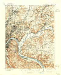
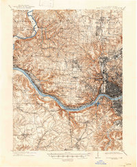
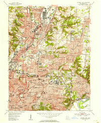
Historical Maps of Cincinnati Through Time
17 maps found

1898 East Cincinnati
Hamilton County, OH
1914 East Cincinnati
Hamilton County, OH
1914 West Cincinnati
Hamilton County, OH
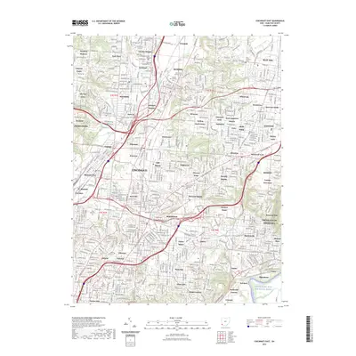
1953 Cincinnati East
Hamilton County, OH
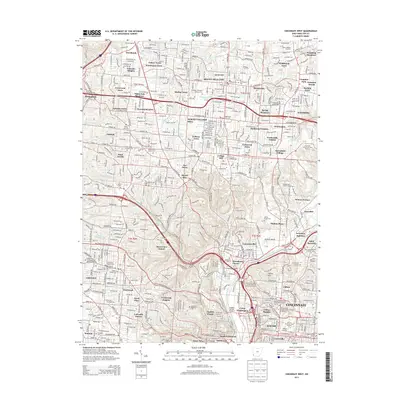
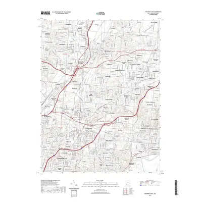
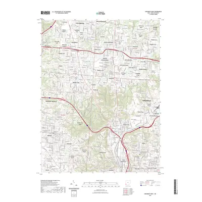
1953 Cincinnati West
Hamilton County, OH
1961 Cincinnati East
Hamilton County, OH
1961 Cincinnati West
Hamilton County, OH
2010 Cincinnati East
Hamilton County, OH
2010 Cincinnati West
Hamilton County, OH
2013 Cincinnati East
Hamilton County, OH
2013 Cincinnati West
Hamilton County, OH
2016 Cincinnati East
Hamilton County, OH
2016 Cincinnati West
Hamilton County, OH
2019 Cincinnati East
Hamilton County, OH
2019 Cincinnati West
Hamilton County, OH
2023 Cincinnati East
Hamilton County, OH
2023 Cincinnati West
Hamilton County, OH