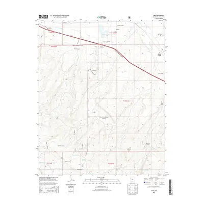
2013 Map of Ciniza
USGS Topo · Published 2013About this map
The Ciniza Refinery stands as a prominent industrial landmark in this high-desert landscape, positioned near the intersection of major transportation corridors. This 2013 survey documents the interface between industrial development and the protected lands of the Cibola National Forest. The terrain is defined by dramatic elevation changes, moving from the drainage of the S Fork Puerco River up to heights like Barometer Mtn and McKenzie Ridge. Evidence of the region's ranching and water management history is visible through features such as the Six A Ranch, Natural Lake, and various stock tanks. Small residential or rail-related clusters at North Guam and South Guam are mapped alongside modern interchanges and named local roads like Mustang Rd and Palomino Loop, showing how the area has evolved to support both the energy industry and rural habitations.
Find a feature on this map
38 named features on this map. Tap any name to fly to it.
Don’t see what you’re looking for? This feature index may not catch every label — zoom into the map to look around manually.
Map Details
Editions of this 2013 Ciniza Map
This is the sole edition of this map. No revisions or reprints were ever made.
Other maps of this area

1886 · Wingate
USGS Topo · 1:250,000

1892 · Wingate
USGS Topo · 1:250,000

1954 · Gallup
USGS Topo · 1:250,000

1958 · Gallup
USGS Topo · 1:250,000

1959 · Gallup
USGS Topo · 1:250,000

1961 · Cottonwood Canyon
USGS Topo · 1:24,000

1962 · Gallup
USGS Topo · 1:250,000

1962 · Ciniza
USGS Topo · 1:24,000

1962 · Continental Divide
USGS Topo · 1:24,000

1962 · Cottonwood Canyon
USGS Topo · 1:24,000