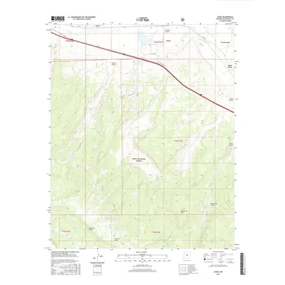
2017 Map of Ciniza
USGS Topo · Published 2017About this map
Cibola National Forest defines the southern expanse of this landscape, where high-elevation features like Barometer Mtn and McKenzie Ridge overlook a network of drainage systems. The northern corridor is dominated by the S Fork Puerco River, which runs parallel to the primary transportation artery connecting the settlements of Perea, Ciniza, and the twin locations of North Guam and South Guam.
Find a feature on this map
36 named features on this map. Tap any name to fly to it.
Don’t see what you’re looking for? This feature index may not catch every label — zoom into the map to look around manually.
Map Details
Editions of this 2017 Ciniza Map
This is the sole edition of this map. No revisions or reprints were ever made.
Other maps of this area

1886 · Wingate
USGS Topo · 1:250,000

1892 · Wingate
USGS Topo · 1:250,000

1954 · Gallup
USGS Topo · 1:250,000

1958 · Gallup
USGS Topo · 1:250,000

1959 · Gallup
USGS Topo · 1:250,000

1961 · Cottonwood Canyon
USGS Topo · 1:24,000

1962 · Gallup
USGS Topo · 1:250,000

1962 · Ciniza
USGS Topo · 1:24,000

1962 · Continental Divide
USGS Topo · 1:24,000

1962 · Cottonwood Canyon
USGS Topo · 1:24,000