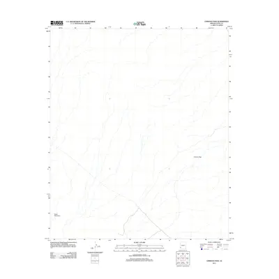
2011 Map of Cipriano Pass
USGS Topo · Published 2011About this map
Butler Mountains anchor the southwestern corner of this landscape in Yuma County, marking a stark transition in the desert terrain. The arid environment is defined by a series of drainage patterns and ephemeral washes that cut through the valley floor, eventually funneling toward the namesake Cipriano Pass in the east. This 2011 survey by the U.S. Geological Survey details a largely undeveloped portion of the Arizona desert, where natural topography remains the primary feature. The isolation of the area is underscored by the lack of named settlements or major infrastructure, leaving only the primary geological landmarks to guide travel through this corner of the Sonoran desert.
Find a feature on this map
2 named features on this map. Tap any name to fly to it.
Don’t see what you’re looking for? This feature index may not catch every label — zoom into the map to look around manually.
Map Details
Editions of this 2011 Cipriano Pass Map
This is the sole edition of this map. No revisions or reprints were ever made.
Other maps of this area

1926 · Fortuna
USGS Topo · 1:62,500

1926 · Wellton
USGS Topo · 1:62,500

1929 · Fortuna
USGS Topo · 1:62,500

1929 · Wellton
USGS Topo · 1:62,500

1942 · Yuma
USGS Topo · 1:250,000

1954 · El Centro
USGS Topo · 1:250,000

1955 · El Centro
USGS Topo · 1:250,000

1958 · El Centro
USGS Topo · 1:250,000

1961 · El Centro
USGS Topo · 1:250,000

1964 · El Centro
USGS Topo · 1:250,000