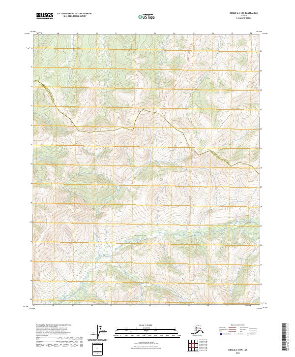
2024 Map of Circle A-4 NW
USGS Topo · Published 2024About this map
The Steese National Conservation Area dominates this Interior Alaska landscape, where the high-altitude drainage systems of the North Fork Chena River and its tributaries carve through the upland terrain. A significant historical and cultural thread runs through the region via the Yukon Quest Trail - Rosebud Trl, tracing a path used by dog sled racers and wilderness travelers through the hills. This modern survey reflects a territory defined by its hydrology and administrative boundaries, marking the division between the Yukon-Koyukuk Census Area and the Fairbanks North Star Borough. Collectors and researchers can trace the winding courses of Rosebud Creek, Boulder Creek, and King Creek, which establish the primary geographic structure of this protected subarctic wilderness.
Find a feature on this map
12 named features on this map. Tap any name to fly to it.
Don’t see what you’re looking for? This feature index may not catch every label — zoom into the map to look around manually.
Map Details
Editions of this 2024 Circle A-4 NW Map
This is the sole edition of this map. No revisions or reprints were ever made.
Other maps of this area

1951 · Circle
USGS Topo · 1:250,000

1951 · Circle A-5
USGS Topo · 1:63,360

1952 · Circle A-4
USGS Topo · 1:63,360

1952 · Circle B-4
USGS Topo · 1:63,360

1952 · Circle A-5
USGS Topo · 1:63,360

1954 · Circle A-5
USGS Topo · 1:63,360

1954 · Circle B-5
USGS Topo · 1:63,360

1955 · Circle
USGS Topo · 1:250,000

1964 · Circle
USGS Topo · 1:250,000
2018 · Circle A-5 NE
USGS Topo · 1:25,000